Nairobi Free The Data
2007-2008
︎︎︎ Project Website
Project Lead
Sarah Williams
Elliott Sclar
Elizabeth Marcello
Jacqueline M. Klopp
Research Assistant
Serena Deng
Gita Subramony
Chris Simi
Aja Maria Hazelhoff
Support from
The Volvo Research and Education Foundation (VREF)
︎︎︎ Project Website
Project Lead
Sarah Williams
Elliott Sclar
Elizabeth Marcello
Jacqueline M. Klopp
Research Assistant
Serena Deng
Gita Subramony
Chris Simi
Aja Maria Hazelhoff
Support from
The Volvo Research and Education Foundation (VREF)
Overview
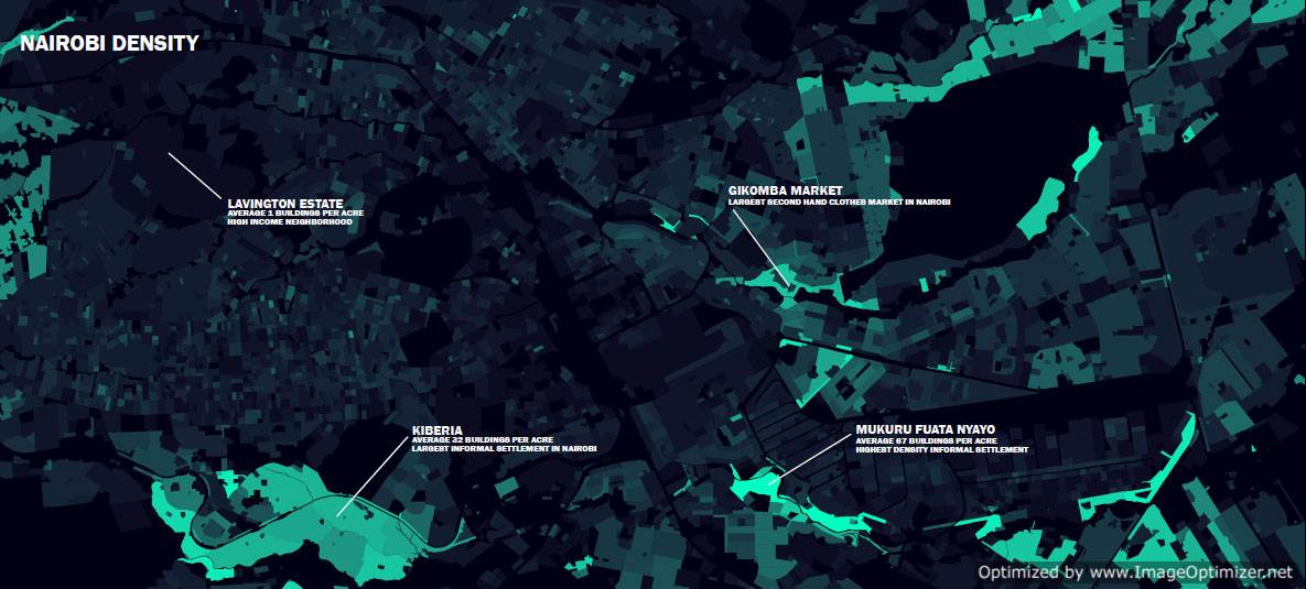
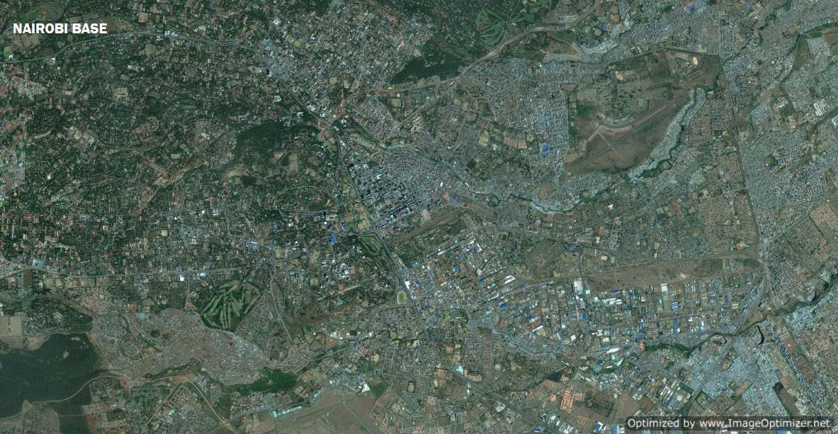
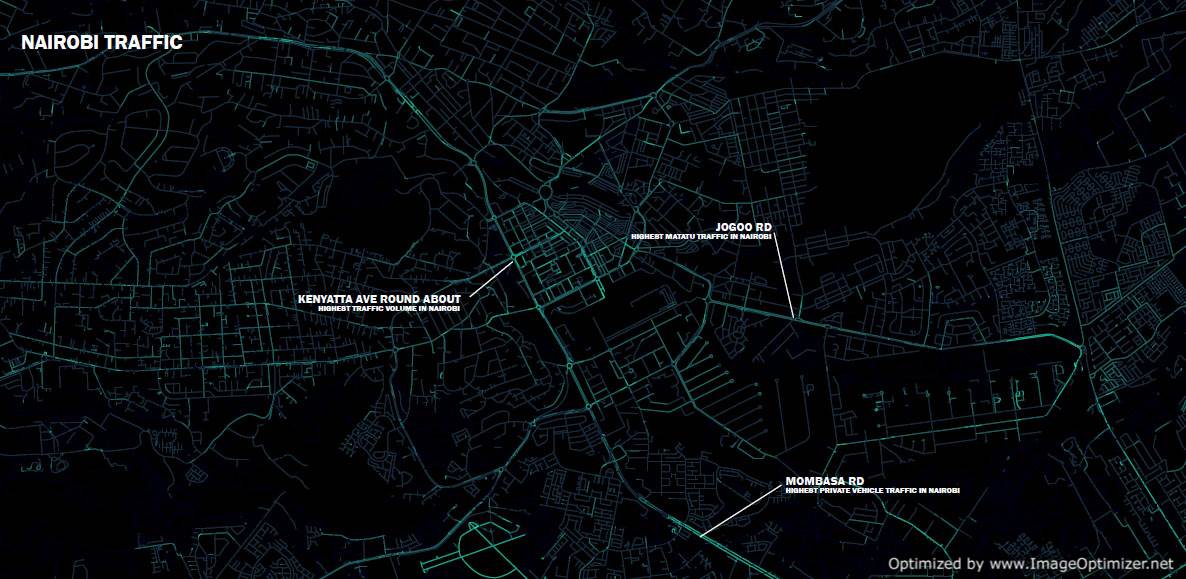
While at the Spatial Innovation Design Lab at Columbia, Sarah Williams worked with the Earth Institute to create a groundbreaking GIS database for Nairobi, Kenya. While the city of Nairobi has some GIS databases, spatial data has been difficult for urban planners, policy analysts, and community stakeholders to obtain. The Nairobi Free the Data project helps policy makers acquire the spatial data they need to make informed decisions about future development. Since the release of the data in 2007, users from all over the world have downloaded it to add to their transportation models and planning initiatives to make more informed decisions about Nairobi. Openly releasing data allows us to build on the value of the data as anyone can use it for their own research and planning questions.
Publication
Williams, Sarah, Elizabeth Marcello, and Jacqueline M. Klopp. “Toward Open Source Kenya: Creating and Sharing a GIS Database of Nairobi.” Annals of the Association of American Geographers, 104, no. 1 (2014): 114-130.
Press
“Air Tracks, Beijing, Open Source Data, Nairobi
Global Design Elsewhere Envisioned”, New York University Gallatin School for Individualized Study, New York, NY, 2011