Global Network Mapping Transit

2017-Present
︎︎︎ Digital Transport 4 Africa Website
︎︎︎ Datum.la Website
︎︎︎ Open data repository for Africa and Latin America
Research Lead
Sarah Williams
Researcher
Akemi Sato
Collaborators
Digital Matatus
World Resources Institute
Center for Sustainable Urban Development
︎︎︎ Digital Transport 4 Africa Website
︎︎︎ Datum.la Website
︎︎︎ Open data repository for Africa and Latin America
Research Lead
Sarah Williams
Researcher
Akemi Sato
Collaborators
Digital Matatus
World Resources Institute
Center for Sustainable Urban Development
Overview
Semi-formal transport commonly emerges in developing cities as a reaction to fast urban growth, helping to alleviate mobility demand that formal systems are unable to satisfy. These systems evolve autonomously—developing routes, stops, and schedules based on market needs. As a consequence, commuting can be not only inefficient but also challenging to navigate. Users, carriers, and planners have little information to understand the system as a whole. GPS and mobile technology, however, create new opportunities for data collection.
Enthusiasts in cities around the world have taken up this opportunity to map informal transport. Using hybrid techniques of crowdsourcing and in-hand technology to collect data about routes and schedules, residents can visualize their city’s transport map.
Global Network Mapping Transit is bringing together innovative methodologies for mapping urban transit systems. Our objective is to understand the achievements and challenges faced in each project, using cross-case comparisons to promote knowledge exchange between cities.
This map presents every transport data project in Africa and Latin America. When you click on an icon, you can see details about each project and a link to the data. Access the data directly in our global repository here.
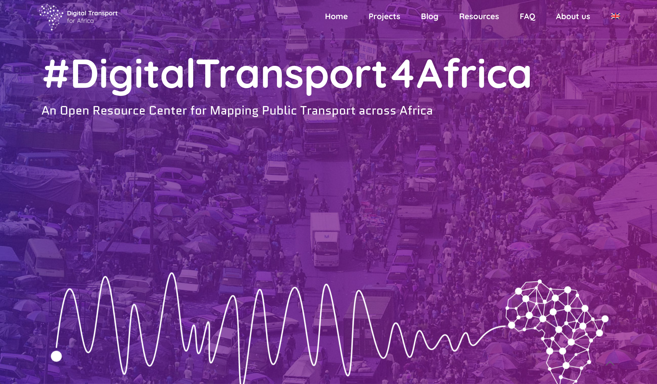 Homepage of DT4A (Africa)

Homepage of Datum.la (Latin America)