March 10, 2016
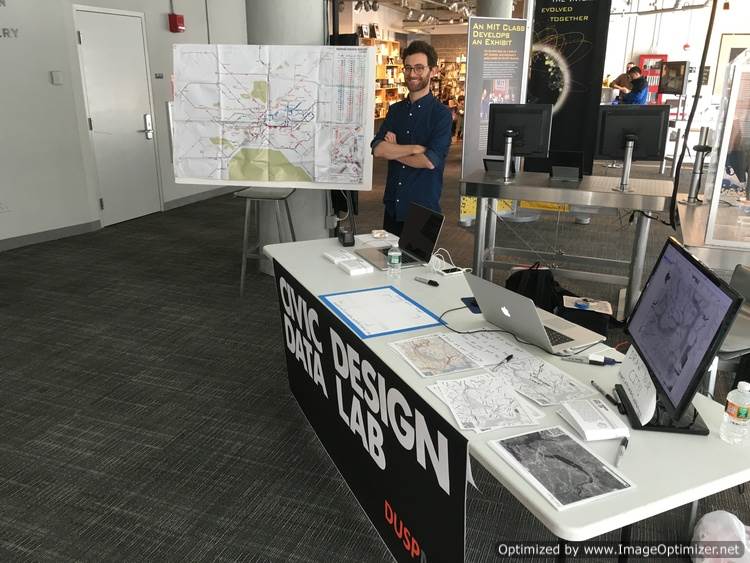
On February 20th, members of the Civic Data Design Lab team gathered at the MIT Museum to take part in Mapapalooza!, an afternoon event celebrating all things cartography—from data innovations to interactive tools and history projects. We were joined by fellow map lovers from the Boston Public Library's Norman B. Leventhal Map Center, the MIT Urban Metabolism Group, and others.
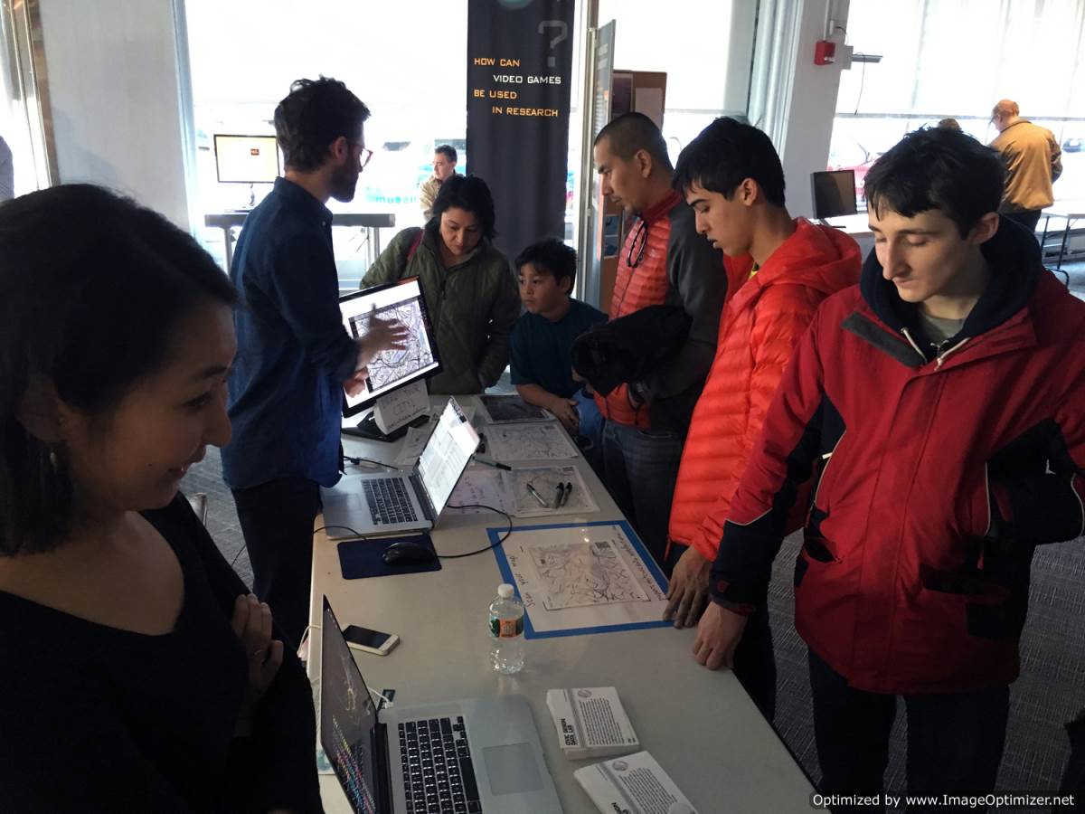
Over at our table we experimented with Field Papers: an open source project initiated by Stamen Design that makes it easy to move from a web map to a doodle-friendly paper map and then back to the web using a snapshot from a cell phone. Mapapalooza visitors sketched out their daily commutes, favorite spots to eat in the neighborhood, and other urban impressions and ideas (including one young visitor's master plan for a swimming pool the size of Cambridgeport). We used Field Papers to gather everyone's custom maps and overlay them together back in the web browser. Thanks to all who joined us!
![]()
![]()
![]()
![]()
Over at our table we experimented with Field Papers: an open source project initiated by Stamen Design that makes it easy to move from a web map to a doodle-friendly paper map and then back to the web using a snapshot from a cell phone. Mapapalooza visitors sketched out their daily commutes, favorite spots to eat in the neighborhood, and other urban impressions and ideas (including one young visitor's master plan for a swimming pool the size of Cambridgeport). We used Field Papers to gather everyone's custom maps and overlay them together back in the web browser. Thanks to all who joined us!


